
Fulton topographic map
Interactive map
Click on the map to display elevation.
About this map
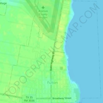
Name: Fulton topographic map, elevation, terrain.
Location: Fulton, Aransas County, Texas, 78358, USA (28.06017 -97.05478 28.08890 -97.02545)
Average elevation: 20 ft
Minimum elevation: -3 ft
Maximum elevation: 46 ft