
平阳镇 topographic map
Interactive map
Click on the map to display elevation.
About this map
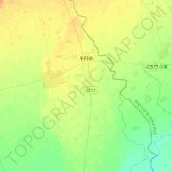
Name: 平阳镇 topographic map, elevation, terrain.
Location: 平阳镇, 甘南县, 齐齐哈尔市, 黑龙江省, 161000, 中国 (48.14330 124.27416 48.33197 124.46706)
Average elevation: 600 ft
Minimum elevation: 558 ft
Maximum elevation: 646 ft