
Peeth topographic map
Interactive map
Click on the map to display elevation.
About this map
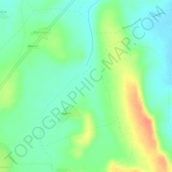
Name: Peeth topographic map, elevation, terrain.
Location: Peeth, Jiran Tehsil, Neemuch District, Madhya Pradesh, India (24.32190 74.82416 24.34059 74.84164)
Average elevation: 1,634 ft
Minimum elevation: 1,568 ft
Maximum elevation: 1,736 ft