
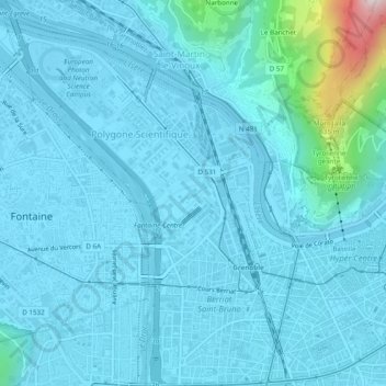
Secteur 1 topographic map
Interactive map
Click on the map to display elevation.
About this map
Name: Secteur 1 topographic map, elevation, terrain.
Average elevation: 863 ft
Minimum elevation: 669 ft
Maximum elevation: 2,943 ft
Other topographic maps
Click on a map to view its topography, its elevation and its terrain.
Grenoble
Francia > Auvergne-Rhône-Alpes > Grenoble
Grenoble, Isère, Auvergne-Rhône-Alpes, Francia metropolitana, Francia
Average elevation: 807 ft