
Usigni topographic map
Interactive map
Click on the map to display elevation.
About this map
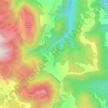
Name: Usigni topographic map, elevation, terrain.
Location: Usigni, Poggiodomo, Perugia, Umbria, 06040, Italia (42.67641 12.91360 42.71641 12.95360)
Average elevation: 3,599 ft
Minimum elevation: 2,362 ft
Maximum elevation: 4,977 ft