
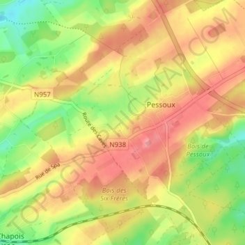
Trisogne topographic map
Interactive map
Click on the map to display elevation.
About this map
Name: Trisogne topographic map, elevation, terrain.
Average elevation: 1,007 ft
Minimum elevation: 840 ft
Maximum elevation: 1,145 ft
Son altitude est de 340 mètres au château d'eau (point culminant)