
Dünwald topographic map
Interactive map
Click on the map to display elevation.
About this map
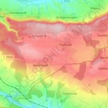
Name: Dünwald topographic map, elevation, terrain.
Location: Dünwald, Unstrut-Hainich-Kreis, Thüringen, Duitsland (51.29616 10.37253 51.34413 10.50177)
Average elevation: 1,335 ft
Minimum elevation: 922 ft
Maximum elevation: 1,690 ft