
Habibler topographic map
Interactive map
Click on the map to display elevation.
About this map
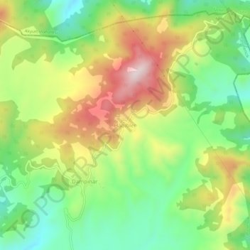
Name: Habibler topographic map, elevation, terrain.
Location: Habibler, Germencik, Aydın, Aegean Region, Turkey (37.97024 27.57706 38.01024 27.61706)
Average elevation: 1,673 ft
Minimum elevation: 994 ft
Maximum elevation: 2,592 ft