
Seneffe topographic map
Interactive map
Click on the map to display elevation.
About this map
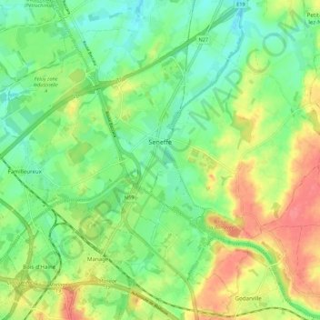
Name: Seneffe topographic map, elevation, terrain.
Location: Seneffe, Soignies, Hainaut, Wallonie, 7180, Belgique (50.49632 4.21435 50.55413 4.32283)
Average elevation: 420 ft
Minimum elevation: 328 ft
Maximum elevation: 551 ft
Other topographic maps
Click on a map to view its topography, its elevation and its terrain.