
Tengwe topographic map
Interactive map
Click on the map to display elevation.
About this map
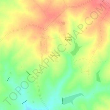
Name: Tengwe topographic map, elevation, terrain.
Location: Tengwe, Hurungwe, Mashonaland West, Zimbabwe (-17.14477 29.59206 -17.10477 29.63206)
Average elevation: 3,891 ft
Minimum elevation: 3,760 ft
Maximum elevation: 4,006 ft