
Udenhout topographic map
Interactive map
Click on the map to display elevation.
About this map
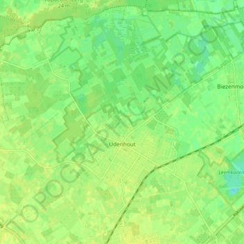
Name: Udenhout topographic map, elevation, terrain.
Location: Udenhout, Tilburg, North Brabant, Netherlands (51.59225 5.09812 51.64059 5.17954)
Average elevation: 33 ft
Minimum elevation: -3 ft
Maximum elevation: 49 ft