
Takungan topographic map
Interactive map
Click on the map to display elevation.
About this map
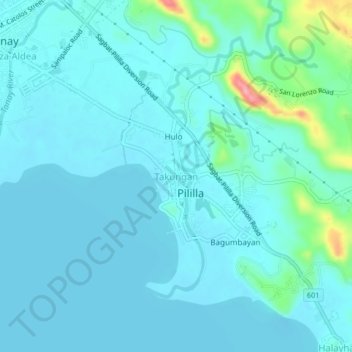
Name: Takungan topographic map, elevation, terrain.
Location: Takungan, Rizal, 1980, Philippines (14.46308 121.28591 14.50308 121.32591)
Average elevation: 52 ft
Minimum elevation: 0 ft
Maximum elevation: 384 ft