
Girul topographic map
Interactive map
Click on the map to display elevation.
About this map
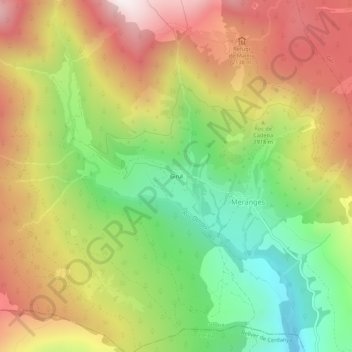
Name: Girul topographic map, elevation, terrain.
Location: Girul, Meranges, Cerdagne, Gérone, Catalogne, Espagne (42.42898 1.75597 42.46898 1.79597)
Average elevation: 6,132 ft
Minimum elevation: 4,295 ft
Maximum elevation: 8,100 ft