
Mangalia topographic map
Interactive map
Click on the map to display elevation.
About this map
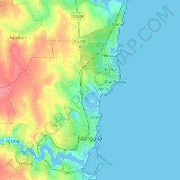
Name: Mangalia topographic map, elevation, terrain.
Location: Mangalia, Constanța, Romania (43.78907 28.49830 43.90039 28.61523)
Average elevation: 59 ft
Minimum elevation: -7 ft
Maximum elevation: 220 ft