
Ramotshere Moiloa Ward 17 topographic map
Interactive map
Click on the map to display elevation.
About this map
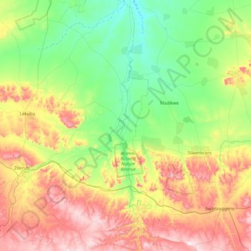
Name: Ramotshere Moiloa Ward 17 topographic map, elevation, terrain.
Average elevation: 3,898 ft
Minimum elevation: 3,179 ft
Maximum elevation: 5,272 ft