
Onkerzele topographic map
Interactive map
Click on the map to display elevation.
About this map
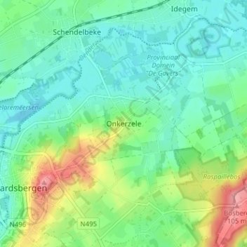
Name: Onkerzele topographic map, elevation, terrain.
Location: Onkerzele, Geraardsbergen, Aalst, Oost-Vlaanderen, 9506, België (50.76201 3.89096 50.80201 3.93096)
Average elevation: 115 ft
Minimum elevation: 20 ft
Maximum elevation: 354 ft