
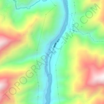
阿路底 topographic map
Interactive map
Click on the map to display elevation.
About this map
Name: 阿路底 topographic map, elevation, terrain.
Location: 阿路底, 鹿马登乡, 福贡县, 怒江傈僳族自治州, 云南省, 中国 (27.08833 98.85457 27.12833 98.89457)
Average elevation: 5,531 ft
Minimum elevation: 4,019 ft
Maximum elevation: 7,884 ft