
Strawberry Point topographic map
Click on the map to display elevation.
About this map
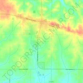
Name: Strawberry Point topographic map, elevation, terrain.
Location: Strawberry Point, Clayton County, Iowa, United States (42.65160 -91.55093 42.69530 -91.51714)
Average elevation: 1,161 ft
Minimum elevation: 1,079 ft
Maximum elevation: 1,257 ft
Clayton County trails, hiking, mountain biking, running and outdoor activities
Other topographic maps
Click on a map to view its topography, its elevation and its terrain.
Driftless Area National Wildlife Refuge - Fern Ridge Unit
United States > Iowa > Clayton County
Average elevation: 883 ft