
小寨镇 topographic map
Interactive map
Click on the map to display elevation.
About this map
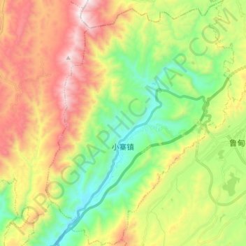
Name: 小寨镇 topographic map, elevation, terrain.
Location: 小寨镇, 鲁甸县, 昭通市, 云南省, 中国 (27.13518 103.43676 27.26593 103.54970)
Average elevation: 6,621 ft
Minimum elevation: 4,948 ft
Maximum elevation: 9,006 ft