
Massacre topographic map
Interactive map
Click on the map to display elevation.
About this map
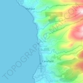
Name: Massacre topographic map, elevation, terrain.
Location: Massacre, Saint Paul Parish, Dominica (15.32751 -61.41175 15.36751 -61.37175)
Average elevation: 417 ft
Minimum elevation: -7 ft
Maximum elevation: 2,024 ft