
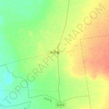
升平镇 topographic map
Interactive map
Click on the map to display elevation.
About this map
Name: 升平镇 topographic map, elevation, terrain.
Location: 升平镇, 安达市, 绥化市, 黑龙江省, 中国 (46.13485 125.09877 46.28685 125.35042)
Average elevation: 509 ft
Minimum elevation: 463 ft
Maximum elevation: 571 ft
Other topographic maps
Click on a map to view its topography, its elevation and its terrain.