
延平区 (Yanping) topographic map
Interactive map
Click on the map to display elevation.
About this map
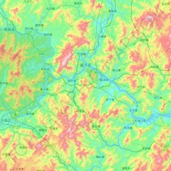
Name: 延平区 (Yanping) topographic map, elevation, terrain.
Location: 延平区 (Yanping), 南平市 Nanping, Fujian, 353000, China (26.23500 117.84589 26.86475 118.67998)
Average elevation: 1,375 ft
Minimum elevation: 174 ft
Maximum elevation: 4,446 ft
Other topographic maps
Click on a map to view its topography, its elevation and its terrain.