
La Piedad de Cabadas topographic map
Interactive map
Click on the map to display elevation.
About this map
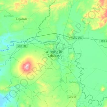
Name: La Piedad de Cabadas topographic map, elevation, terrain.
Location: La Piedad de Cabadas, La Piedad, Michoacán, 59300, Mexico (20.18299 -102.19112 20.50299 -101.87112)
Average elevation: 5,755 ft
Minimum elevation: 5,069 ft
Maximum elevation: 8,258 ft