
Kanuru topographic map
Interactive map
Click on the map to display elevation.
About this map
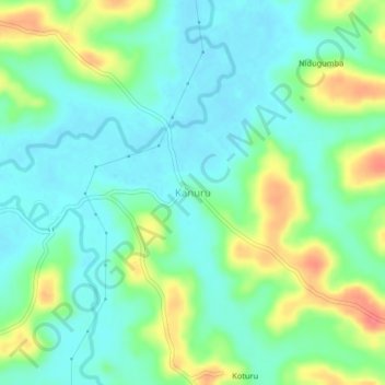
Name: Kanuru topographic map, elevation, terrain.
Location: Kanuru, Ponnampete taluk, Kodagu, Karnataka, 571216, India (12.06835 76.00161 12.10835 76.04161)
Average elevation: 2,710 ft
Minimum elevation: 2,644 ft
Maximum elevation: 2,844 ft