
八斗镇 topographic map
Interactive map
Click on the map to display elevation.
About this map
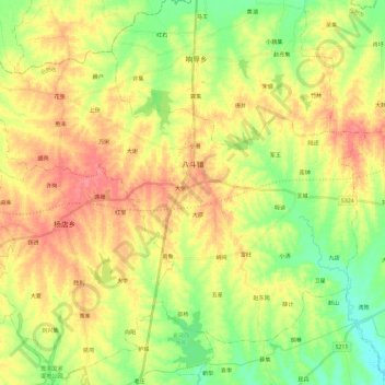
Name: 八斗镇 topographic map, elevation, terrain.
Location: 八斗镇, 肥东县 (Feidong), Hefei, Anhui, 231600, Chine (32.06399 117.47440 32.21975 117.70912)
Average elevation: 187 ft
Minimum elevation: 82 ft
Maximum elevation: 292 ft