
Vitichi topographic map
Interactive map
Click on the map to display elevation.
About this map
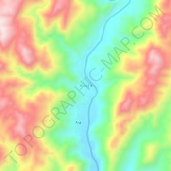
Name: Vitichi topographic map, elevation, terrain.
Location: Vitichi, Provincia Nor Chichas, Potosí, Bolivia (-20.54319 -65.51905 -20.50319 -65.47905)
Average elevation: 9,049 ft
Minimum elevation: 8,294 ft
Maximum elevation: 9,928 ft
Other topographic maps
Click on a map to view its topography, its elevation and its terrain.