
Llangollen topographic map
Interactive map
Click on the map to display elevation.
About this map
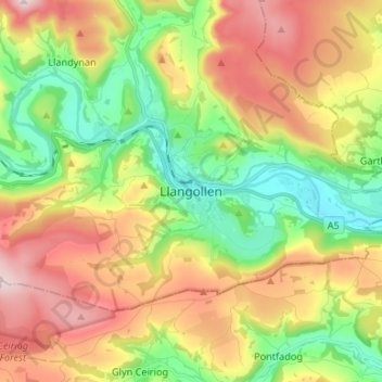
Name: Llangollen topographic map, elevation, terrain.
Location: Llangollen, Denbighshire, Wales, LL20 8PS, VK (52.92940 -3.21111 53.00940 -3.13111)
Average elevation: 915 ft
Minimum elevation: 194 ft
Maximum elevation: 1,864 ft