
Bad Düben topographic map
Interactive map
Click on the map to display elevation.
About this map
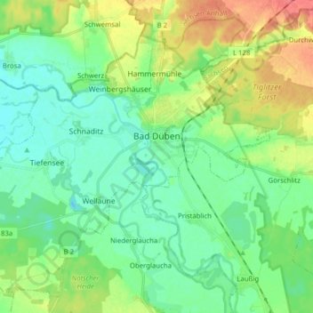
Name: Bad Düben topographic map, elevation, terrain.
Location: Bad Düben, Nordsachsen, Saksen, 04849, Duitsland (51.54128 12.48777 51.62796 12.64360)
Average elevation: 322 ft
Minimum elevation: 266 ft
Maximum elevation: 440 ft