
Valtablado del Río topographic map
Interactive map
Click on the map to display elevation.
About this map
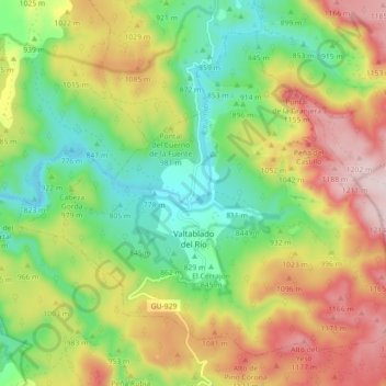
Name: Valtablado del Río topographic map, elevation, terrain.
Location: Valtablado del Río, Guadalajara, Castilla-La Mancha, España (40.69405 -2.44323 40.75093 -2.35433)
Average elevation: 3,153 ft
Minimum elevation: 2,507 ft
Maximum elevation: 4,026 ft