
Lyari Town topographic map
Interactive map
Click on the map to display elevation.
About this map
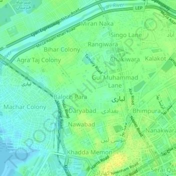
Name: Lyari Town topographic map, elevation, terrain.
Location: Lyari Town, Karachi, Karāchi District, Sindh, Pakistan (24.85197 66.97782 24.88061 67.01241)
Average elevation: 30 ft
Minimum elevation: -7 ft
Maximum elevation: 62 ft
Other topographic maps
Click on a map to view its topography, its elevation and its terrain.