
Douvrain topographic map
Interactive map
Click on the map to display elevation.
About this map
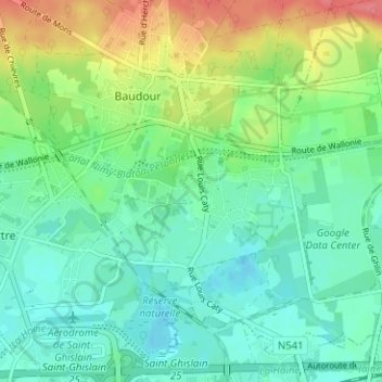
Name: Douvrain topographic map, elevation, terrain.
Average elevation: 125 ft
Minimum elevation: 52 ft
Maximum elevation: 282 ft
Other topographic maps
Click on a map to view its topography, its elevation and its terrain.
Quartier de l'Europe
Belgique > Hainaut > Mons > Saint-Ghislain > Baudour
Quartier de l'Europe, Baudour, Saint-Ghislain, Mons, Hainaut, Wallonie, 7331, Belgique
Average elevation: 203 ft