
Angels topographic map
Interactive map
Click on the map to display elevation.
About this map
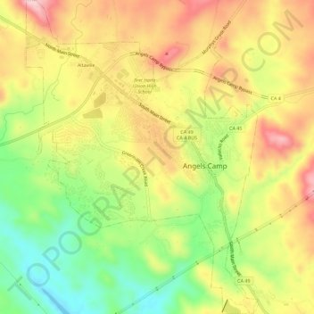
Name: Angels topographic map, elevation, terrain.
Location: Angels, Calaveras County, California, United States (38.04857 -120.57272 38.09300 -120.53098)
Average elevation: 1,463 ft
Minimum elevation: 1,056 ft
Maximum elevation: 1,854 ft