
la Molsosa topographic map
Interactive map
Click on the map to display elevation.
About this map
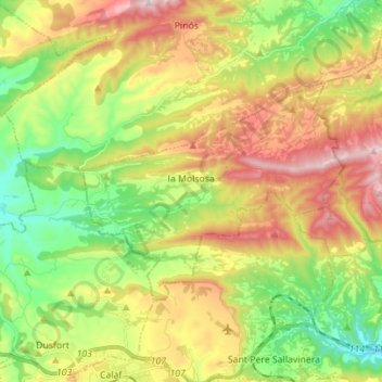
Name: la Molsosa topographic map, elevation, terrain.
Location: la Molsosa, Solsonés, Lérida, Cataluña, España (41.75256 1.46112 41.81199 1.60018)
Average elevation: 2,198 ft
Minimum elevation: 1,558 ft
Maximum elevation: 3,038 ft