
Incahuasi topographic map
Interactive map
Click on the map to display elevation.
About this map
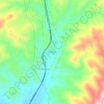
Name: Incahuasi topographic map, elevation, terrain.
Location: Incahuasi, Provincia de Huasco, Región de Atacama, Chile (-29.24650 -71.03104 -29.20650 -70.99104)
Average elevation: 2,949 ft
Minimum elevation: 2,369 ft
Maximum elevation: 3,996 ft