
Wapenveld topographic map
Interactive map
Click on the map to display elevation.
About this map
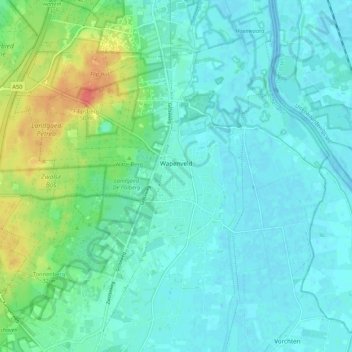
Name: Wapenveld topographic map, elevation, terrain.
Location: Wapenveld, Heerde, Geldern, Niederlande (52.40337 6.01243 52.45481 6.11947)
Average elevation: 43 ft
Minimum elevation: -13 ft
Maximum elevation: 174 ft