Geolocate

Boston Harbor topographic map

Click on the map to display elevation.

About this map

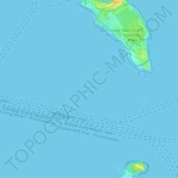
Name: Boston Harbor topographic map, elevation, terrain.

Location: Boston Harbor, Boston, Suffolk County, Massachusetts, 02152, United States (42.34171 -70.96621 42.34181 -70.96611)

Average elevation: 3 ft

Minimum elevation: -3 ft

Maximum elevation: 98 ft

Suffolk County trails, hiking, mountain biking, running and outdoor activities

Other topographic maps

Click on a map to view its topography, its elevation and its terrain.

Allston

United States > Massachusetts > Suffolk County > Boston

Average elevation: 33 ft

Gear up for your next adventure:

🧭Compass with Lanyard - Easy‑carry compass for navigation
🎁Geography Themed Gifts - Unique gift ideas for map lovers and geography enthusiasts
🔊Portable Camp Speaker - Music and alerts at camp
📚USA Hiking Guide Books - Top trail guides and map books
🛠️Backpacking Tool Kit - Essential toolkit for outdoor repairs

As an Amazon Associate, this site earns from qualifying purchases at no extra cost to you.