Geolocate

Boyette topographic map

Click on the map to display elevation.

About this map

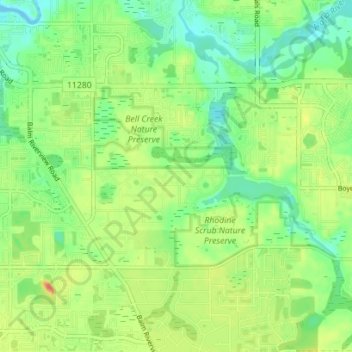
Name: Boyette topographic map, elevation, terrain.

Location: Boyette, Hillsborough County, Florida, United States (27.82150 -82.31453 27.85358 -82.24434)

Average elevation: 69 ft

Minimum elevation: -10 ft

Maximum elevation: 161 ft

Hillsborough County trails, hiking, mountain biking, running and outdoor activities

Gear up for your next adventure:

👟Men's Trail Runners - Lightweight footwear for fast-paced exploration and light hiking
📚USA Hiking Guide Books - Top trail guides and map books
🪶Compact Camp Shovel - Folding shovel for campsite tasks
🌄Hiking Binoculars - Compact binoculars for scenic views and trail spotting
📶Vehicle Signal Boosters - Improve reception in rural areas while driving to trailheads

As an Amazon Associate, this site earns from qualifying purchases at no extra cost to you.