
Kingswood topographic map
Interactive map
Click on the map to display elevation.
About this map
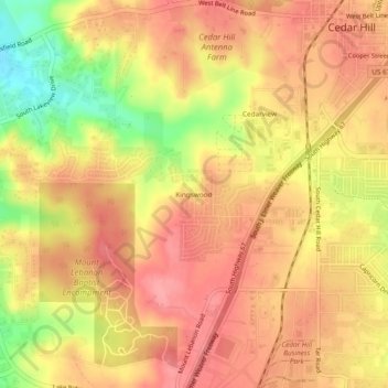
Name: Kingswood topographic map, elevation, terrain.
Location: Kingswood, Cedar Hill, Dallas County, Texas, United States (32.55153 -96.99473 32.59153 -96.95473)
Average elevation: 784 ft
Minimum elevation: 587 ft
Maximum elevation: 879 ft