Geolocate

Santa Clara topographic map

Click on the map to display elevation.

About this map

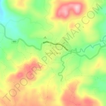
Name: Santa Clara topographic map, elevation, terrain.

Location: Santa Clara, Lamitan, Basilan, Bangsamoro, 7302, Philippines (6.65694 122.04187 6.69694 122.08187)

Average elevation: 515 ft

Minimum elevation: 121 ft

Maximum elevation: 919 ft

Gear up for your next adventure:

🦶Hiking Gaiters - Keep debris and water out of your boots
🧢Outdoor Hiking Hat - Sun protection hat for outdoor explorers
🏥Hiking First Aid Kits - Comprehensive medical kits for remote trail injuries
🪓Survival Multi‑Tool - Versatile tool for camp and trail tasks
👟Men's Trail Runners - Lightweight footwear for fast-paced exploration and light hiking

As an Amazon Associate, this site earns from qualifying purchases at no extra cost to you.