
Tinahely topographic map
Interactive map
Click on the map to display elevation.
About this map
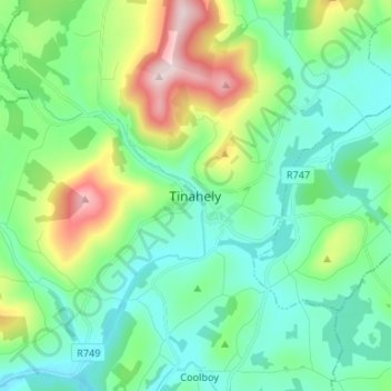
Name: Tinahely topographic map, elevation, terrain.
Location: Tinahely, County Wicklow, Leinster, Ireland (52.75955 -6.50348 52.83955 -6.42348)
Average elevation: 509 ft
Minimum elevation: 207 ft
Maximum elevation: 1,394 ft