
Koula topographic map
Interactive map
Click on the map to display elevation.
About this map
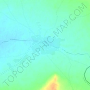
Name: Koula topographic map, elevation, terrain.
Location: Koula, Cercle de Tominian, Ségou, Mali (13.24079 -4.27604 13.24701 -4.26551)
Average elevation: 1,237 ft
Minimum elevation: 1,204 ft
Maximum elevation: 1,325 ft
Other topographic maps
Click on a map to view its topography, its elevation and its terrain.