
Cycle topographic map
Interactive map
Click on the map to display elevation.
About this map
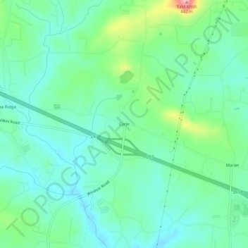
Name: Cycle topographic map, elevation, terrain.
Location: Cycle, Yadkin County, North Carolina, USA (36.11430 -80.86202 36.15430 -80.82202)
Average elevation: 1,093 ft
Minimum elevation: 974 ft
Maximum elevation: 1,430 ft