
lavanderia topographic map
Interactive map
Click on the map to display elevation.
About this map
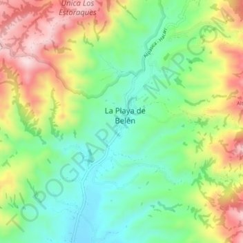
Name: lavanderia topographic map, elevation, terrain.
Location: lavanderia, Ocaña, Norte de Santander, Colombia (8.19265 -73.25873 8.23265 -73.21873)
Average elevation: 5,036 ft
Minimum elevation: 4,544 ft
Maximum elevation: 5,768 ft