Mus Chaja topographic map
Interactive map
Click on the map to display elevation.
About this map
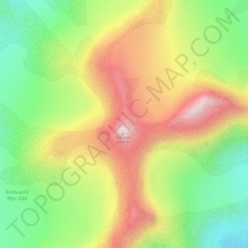
Name: Mus Chaja topographic map, elevation, terrain.
Average elevation: 8,602 ft
Minimum elevation: 7,694 ft
Maximum elevation: 9,639 ft

Click on the map to display elevation.
Name: Mus Chaja topographic map, elevation, terrain.
Average elevation: 8,602 ft
Minimum elevation: 7,694 ft
Maximum elevation: 9,639 ft