
Monte Rotondo topographic map
Interactive map
Click on the map to display elevation.
About this map
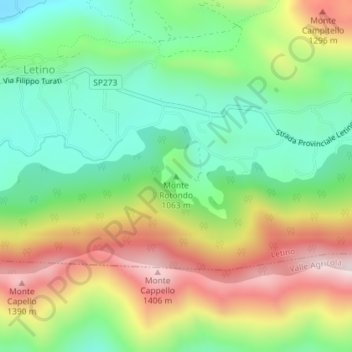
Name: Monte Rotondo topographic map, elevation, terrain.
Location: Monte Rotondo, Letino, Caserta, Campanie, Italie (41.44477 14.26939 41.44487 14.26949)
Average elevation: 3,517 ft
Minimum elevation: 2,749 ft
Maximum elevation: 4,646 ft