
Assergi topographic map
Interactive map
Click on the map to display elevation.
About this map
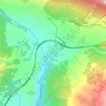
Name: Assergi topographic map, elevation, terrain.
Location: Assergi, L'Aquila, Abruzzen, Italien (42.39532 13.48718 42.43532 13.52718)
Average elevation: 3,396 ft
Minimum elevation: 2,566 ft
Maximum elevation: 4,951 ft
Other topographic maps
Click on a map to view its topography, its elevation and its terrain.