
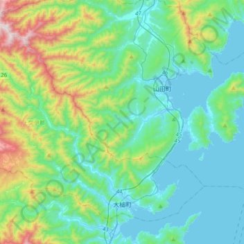
大槌町 topographic map
Interactive map
Click on the map to display elevation.
About this map
Name: 大槌町 topographic map, elevation, terrain.
Location: 大槌町, 上閉伊郡, Prefectura de Iwate, Japón (39.33994 141.70215 39.52937 142.00048)
Average elevation: 778 ft
Minimum elevation: -3 ft
Maximum elevation: 3,743 ft