
巴洪下滩 topographic map
Interactive map
Click on the map to display elevation.
About this map
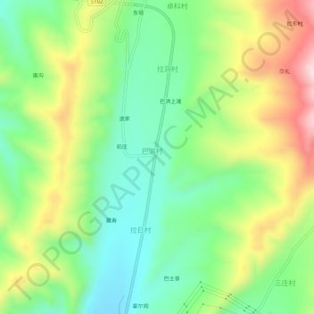
Name: 巴洪下滩 topographic map, elevation, terrain.
Location: 巴洪下滩, 巴洪村, 互助土族自治县, 海东市, 青海省, 中国 (36.74177 102.11746 36.78177 102.15746)
Average elevation: 9,160 ft
Minimum elevation: 8,645 ft
Maximum elevation: 9,993 ft