
Freixedo topographic map
Interactive map
Click on the map to display elevation.
About this map
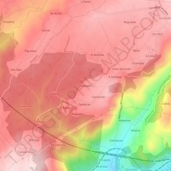
Name: Freixedo topographic map, elevation, terrain.
Location: Freixedo, O Castro de Beiro, Ourense, Galiza, 32172, Espanha (42.35629 -7.94325 42.39629 -7.90325)
Average elevation: 1,145 ft
Minimum elevation: 335 ft
Maximum elevation: 1,476 ft
Other topographic maps
Click on a map to view its topography, its elevation and its terrain.
A Conchada
Espanha > Galiza > Ourense > Ourense
A Conchada, Palmés, Ourense, Galiza, 32172, Espanha
Average elevation: 1,024 ft