Kell topographic map
Interactive map
Click on the map to display elevation.
About this map
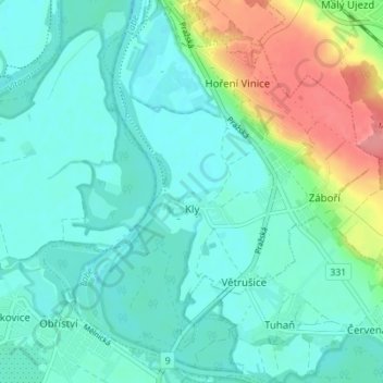
Name: Kell topographic map, elevation, terrain.
Average elevation: 571 ft
Minimum elevation: 505 ft
Maximum elevation: 787 ft

Click on the map to display elevation.
Name: Kell topographic map, elevation, terrain.
Average elevation: 571 ft
Minimum elevation: 505 ft
Maximum elevation: 787 ft